
Mandate
To provide geo-spatial information (land surveying and mapping information) to the country
Vision
Timely and accurately provision of geo-spatial information (land surveying and mapping services) for socio-economic development of the country.
Mission
To provide timely and accurate geo-spatial information for purposes of national integrity, security, safe navigation, dispute resolution, security of land tenure, disaster management and orderly and sustainable infrastructure developments in the country.
Organization and Functions
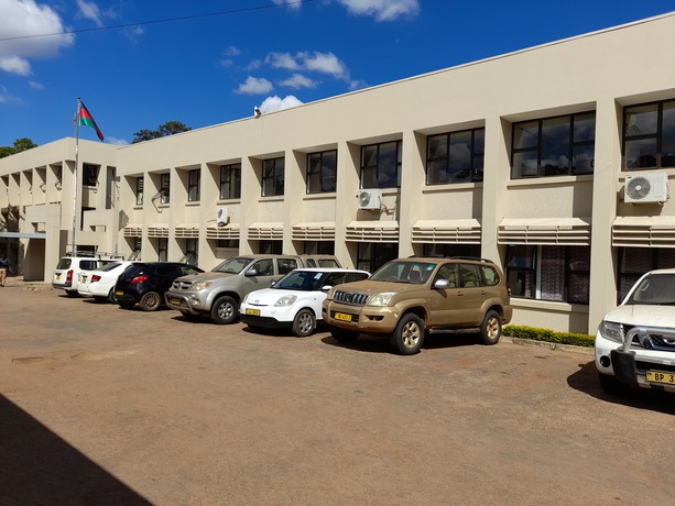
The Department is headed by the Surveyor General at graded D (P2) who is assisted by three Deputy Surveyor Generals at Grade E (P3). The Department operates from its headquarters in Lilongwe. It has also three Regional Offices in Blantyre, Lilongwe and Mzuzu, Hydrographic Survey Unit in Monkey-Bay and District Survey Offices in Karonga, Zomba and Mangochi.
Functions of the Department
The functions of the department are to:
-
Provide land surveying services;
-
Provide mapping services;
-
Provision of hydrographic and aeronautical survey services;
-
Provide quality assurance and information management services; and
-
Provide general administrative support services.
DEPARTMENT OF SURVEYS
The Department of Surveys was one of the first departments that were established by the colonial administrators in the country. Apart from the activities of land surveying and provision of topographic information (Maps and charts), it was also responsible for, among other things, activities that are now covered by Departments of Lands, Physical Planning (currently within the same Ministry with the Department of surveys), as well as Departments of Land Resources in the Ministry of Agriculture and Public Works in the Ministry of Transport and Public Works. Over the years, the activities of the Department have been streamlined to its present mandate as other departments and ministries were being established.
The Department of Surveys is the National Land Surveying and Mapping Authority mandated to provide professional and technical services and advice to the government, public institutions, private sector and the general public on all matters relating to geo-spatial information (land surveying and mapping information).
The Department of Surveys is the National Land Surveying and Mapping Authority mandated to provide professional and technical services and advice to the government, public institutions, private sector and the general public on all matters relating to geo-spatial information (land surveying and mapping information).